
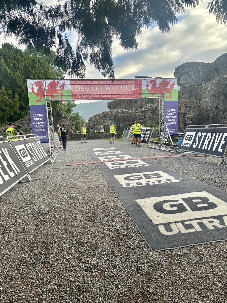
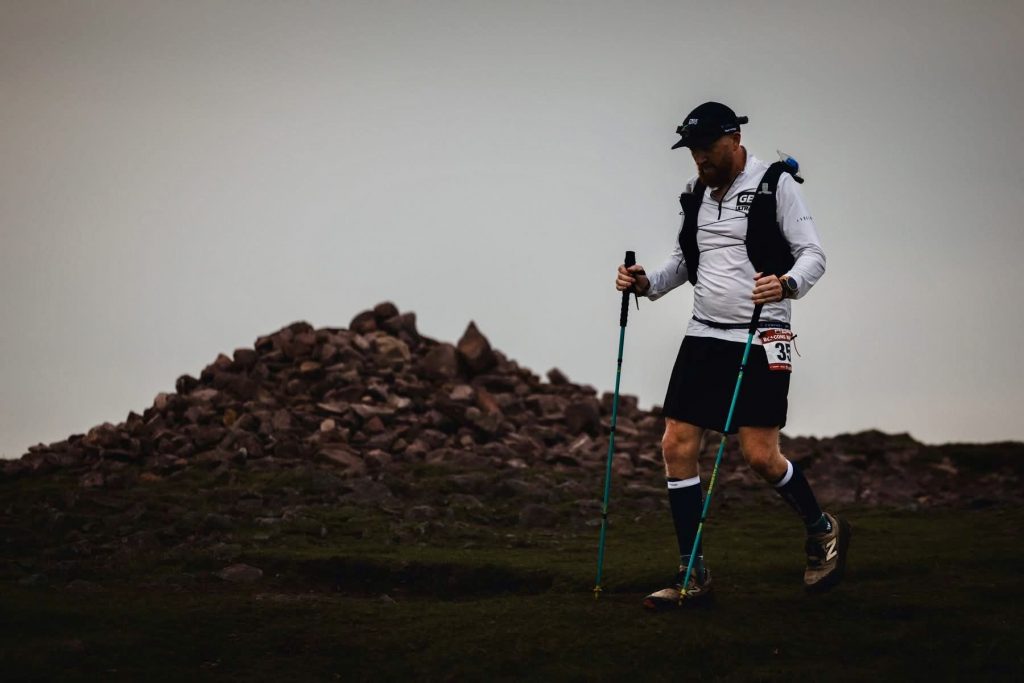
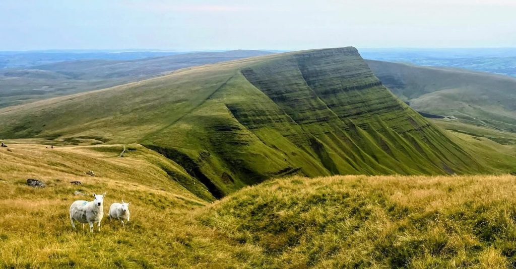
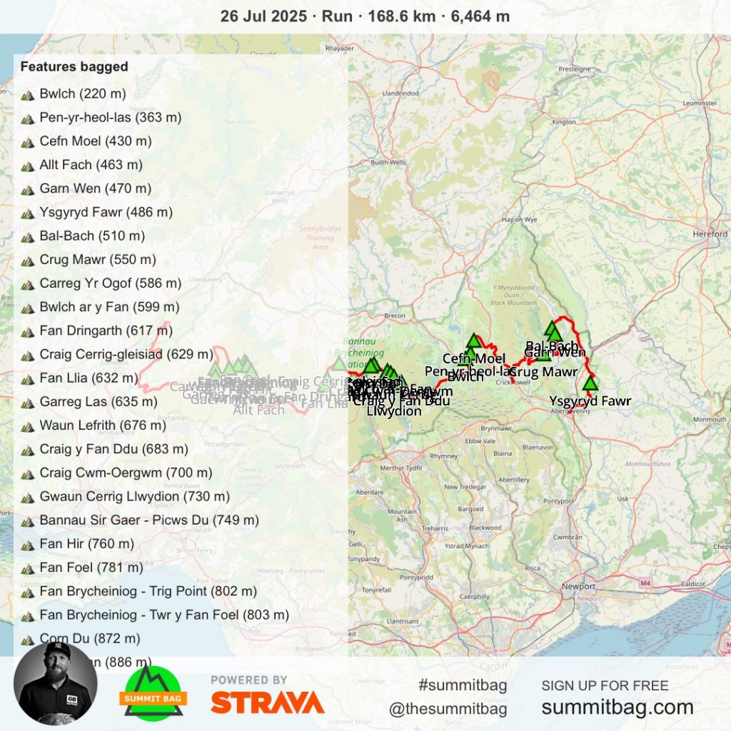
That’s race 3 out of 4 races completed for the GB Ultras 2025 100-mile Grand Slam series. The Race Across Bannau Brycheiniog, the Brecon Beacons National Park! The Beacons Way 100 mile ultra is just over 100 miles starting from the ruins of Abergavenny Castle and following the Beacons Way National Trail all the way West of the country to Llangadog. A stunning race, taking on the highest mountains in South Wales including Pen-y-Fan (886m) and the Carmarthen Fans with just under 6,500m of total elevation gain across the race.
Race week started with some acupuncture on my troublesome right heel to try and relieve some of the pain I had been experiencing from Plantar Fasciitis which I picked up post Chester 100. After not really running much since Scotland 100 and trying everything possible to get rid of the niggle, ice, rest, sleep, stretching, strength work, massage, compression socks and insoles, the last roll of the dice was acupuncture.
Whilst the acupuncture didn’t heal my Plantar Fasciitis it certainly reduced the inflammation and got rid of 95% of the pain I had been experiencing recently and made walking and standing so much more comfortable. The 3 weeks prior, since Scotland 100, my running was down to a minimal, every 3 days if I was lucky and no more than 8km in distance, so training volume was nowhere near where I wanted it to be, in preparation for this race.
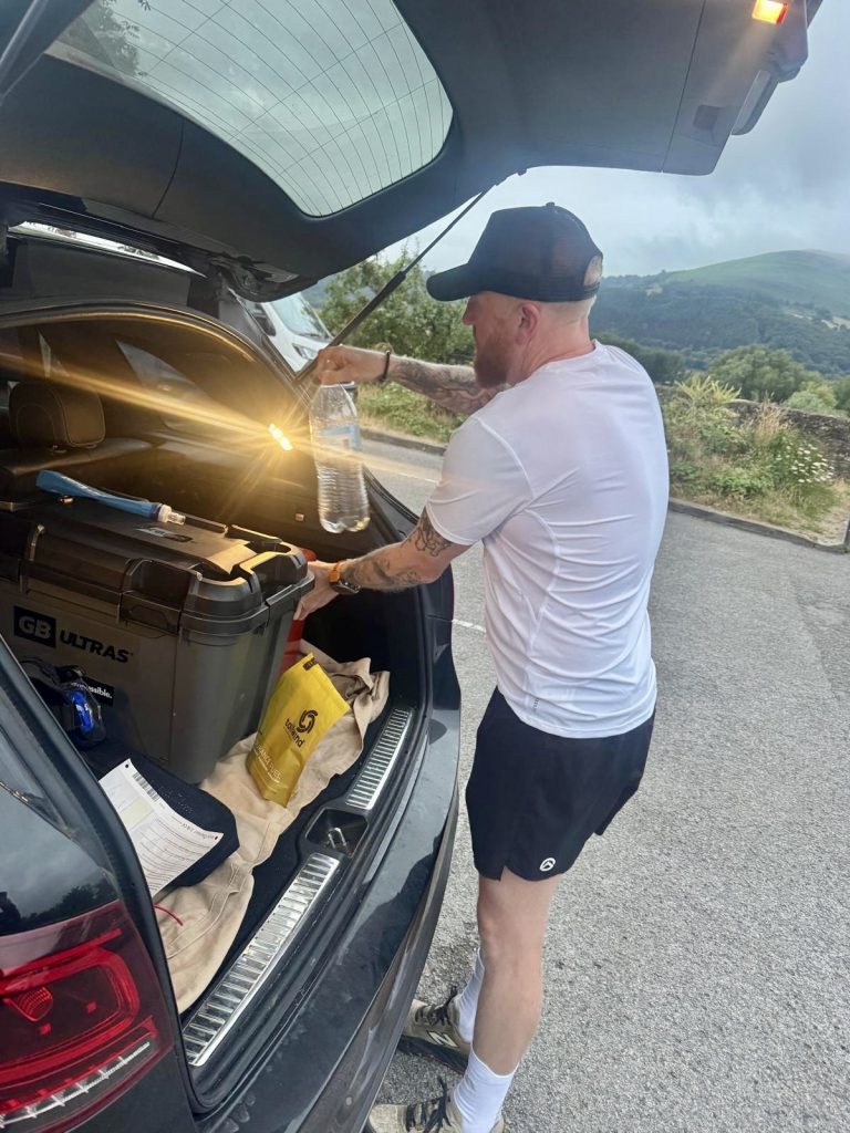
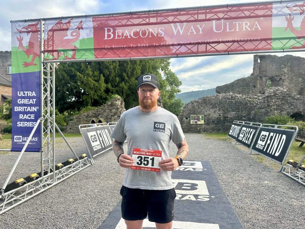
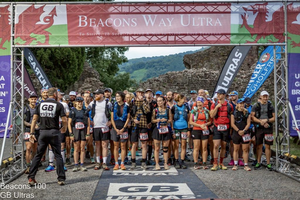
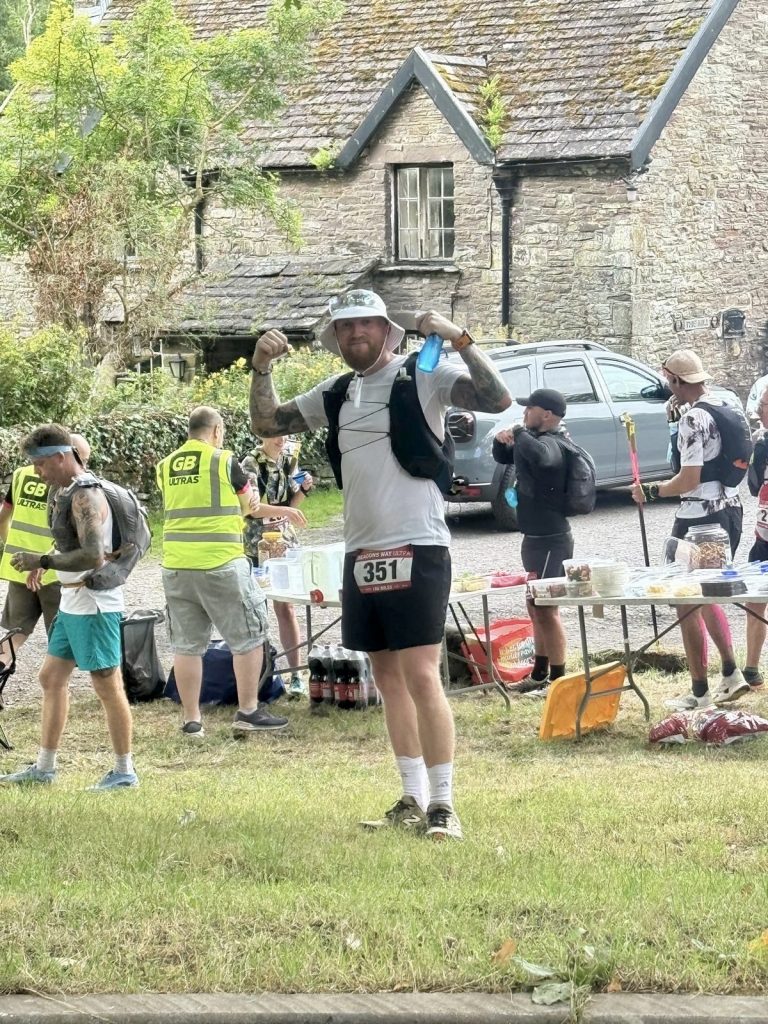
For this race I had my brother crewing me, we travelled down to South Wales on the Friday afternoon. We headed straight to registration at Abergavenny Castle. There is no parking at the start venue, but plenty of spaces in the near-by short stay and long stay car parks which were free outside the hours of 8am to 6pm. A catch up with the GB Ultras team, Bib number collected, obligatory start line photo and we headed to our hotel.
There is plenty of hotel options in the area. We had booked the Best Western, 15 mins down the road, located in Pontypool. Plenty of food places in the surrounding area, but we settled on the Harvester to get some food in before an early(ish) night. In bed by 9:30pm, alarm was set for 4am, but I only had around 2 hours of sleep, the usual for me the night before a race!
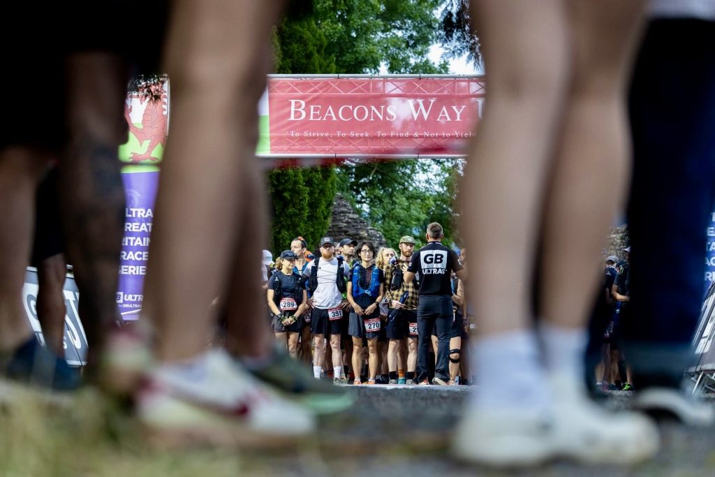
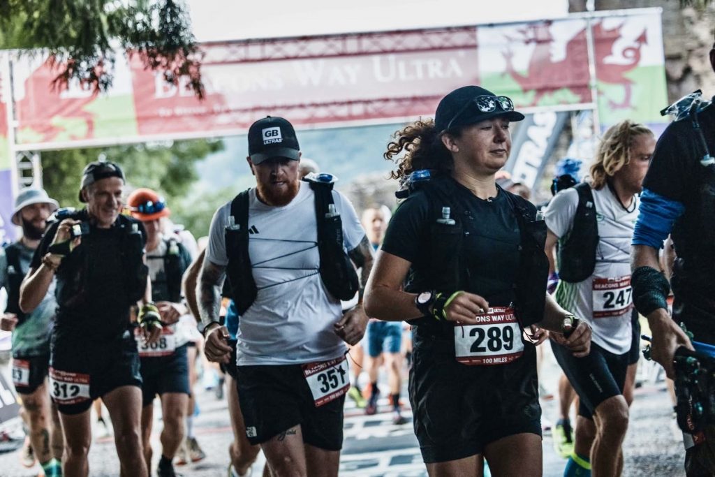
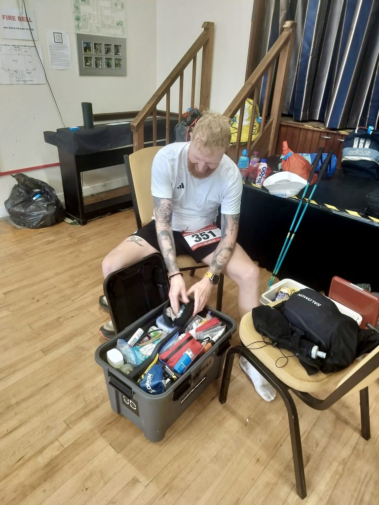
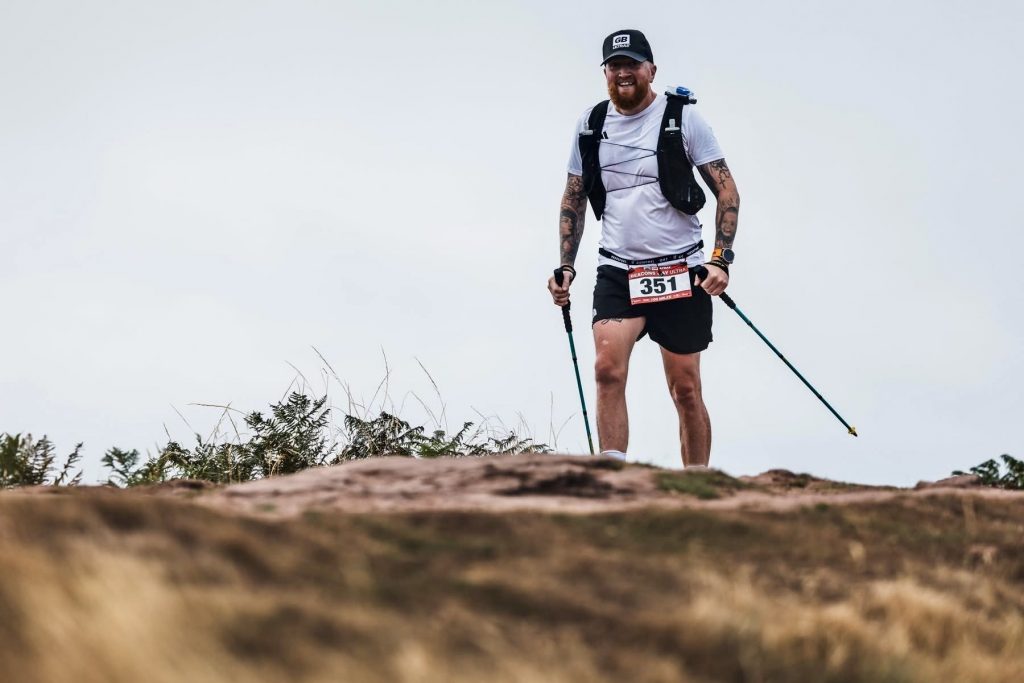
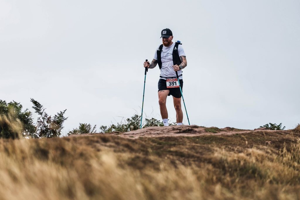
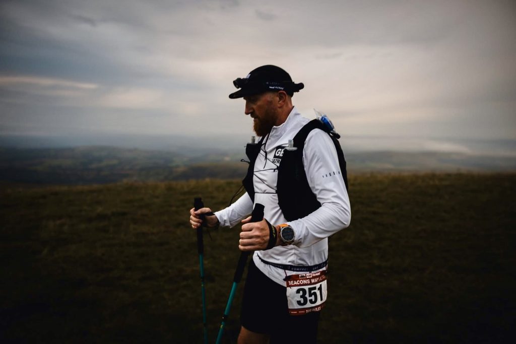
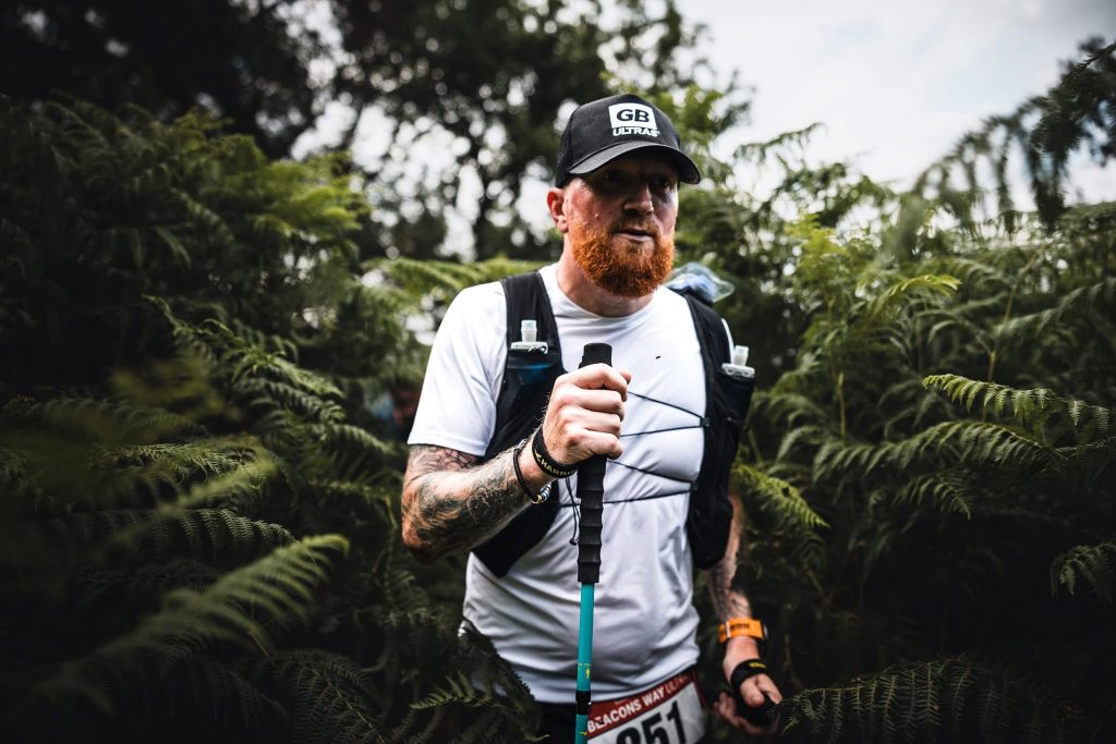
The alarm at 4am soon sounded. We got up, washed and dressed and made coffee and breakfast before making the short journey to the event start line. My kit had already been packed and re-packed, bottles filled, race plan discussed, and tracker collected. I lined up on the start line with 130 other runners embarking on this next race. 6am soon rolled around and we were off along the Beacons Way.
Start to Skirrid Mountain Inn, CP1
Distance: 7.2 miles / Elevation Gain: 500m
Terrain: Started with urban paths and lanes then developed into grassy bridleway with plenty of stiles and gates and then light rocky mountain trail.
The race begins with a quick loop around the grounds of the castle ruins and then heads through Abergavenny town, passing under railway and road bridges before passing through a golf course.
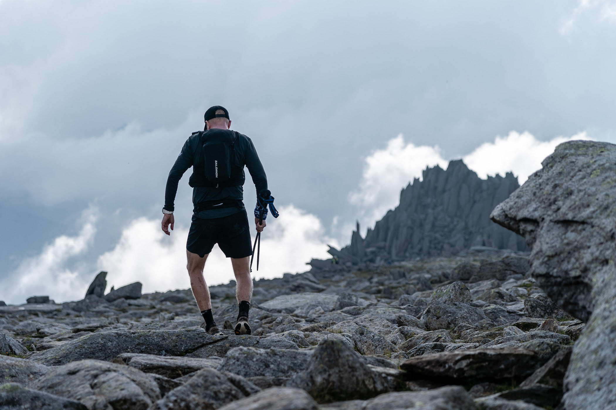
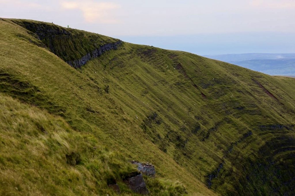
The first Ascent is Skirrid Fawr aka. The Holy Mountain. The climb to the summit of Skirrid Fawr (486m) is steep but well-marked and easy to follow. The weather was perfect, so the summit offered stunning panoramic views of the Brecon Beacons, Beacons Way and the Black Mountains.
After a quick out and back to the trig point, we then start the descent. The descent on the northeast slope can be tricky to locate in bad weather but was marshalled well and the trail was easy to follow. Soon enough I reached CP1 at the Skirrid Mountain Inn, one of the oldest pubs in Wales! And topped up my water bottles before swiftly cracking onwards to CP2.
This section came and went quick as I settled into my pace and tried not to aggravate my plantar injury.
Skirrid Mountain Inn to Llanthony Treats Campsite, CP2
Distance: 6.5 miles (13.7 miles total) / Elevation Gain: 500m (1000m total)
Terrain: Generally grassy trails, with plenty of stiles and gates. Some exposed ridgeline and some narrow trail. Nothing too technical though.
Leaving CP1, the route briefly joins the Offa’s Dyke Path before the path ascends steeply across fields and open hillside. I passed through an ancient hill fort before reaching the trig point on Hatterrall Hill (531m). I then followed the ridge of the Black Mountains, with expansive views over the Vale of Ewyas and towards the Brecon Beacons. My heel was starting to get some pain in it by this point, so I knew it was going to be a long day or two.
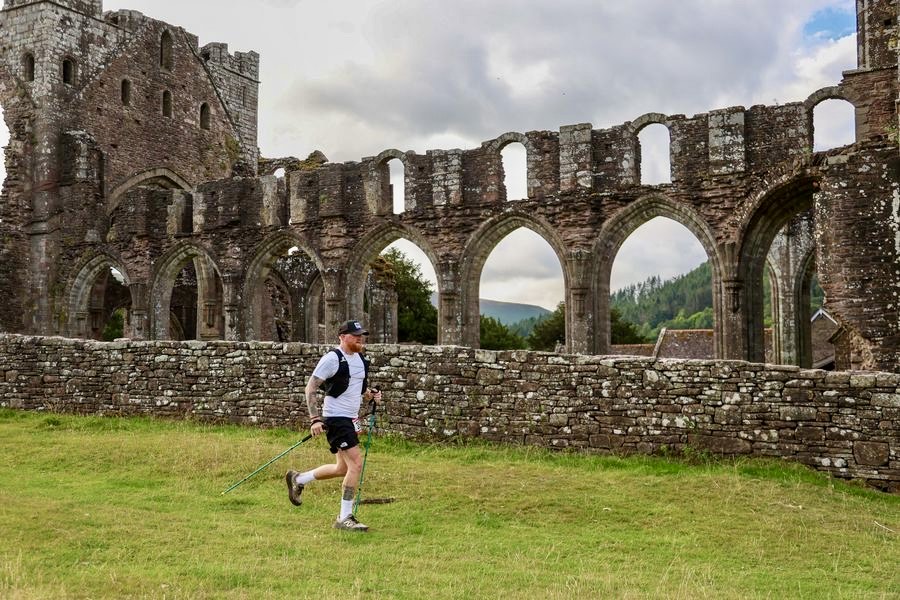
The descent was easy enough through fields and bridleways into the valley and I passed Llanthony Priory and then arrived at the Llanthony Treats Campsite. Again, I refilled my bottles and collected an extra one as the sun was starting to appear and the day was getting warmer. I changed hats and picked up my shades. Grabbed some food and pushed on.
Llanthony Treats Campsite to Crickhowell Parish Hall, CP3
Distance: 12.5 miles (26.2 miles total) / Elevation Gain: 800m (1800m total)
Terrain: A mix of grassy trails, quiet lanes and footpaths, uneven and rocky trails in some small sections.
Out of CP2 I started to ascend the grassy ridge through the valley to Bal-Bach, the first of 3 climbs in this section. Nothing too steep or technical but needed respecting at this stage of the race. The next ascent was to Crug Mawr (550m), the biggest hill of the three in this section with sweeping views. The final climb on this section skirts the Iron Age hill fort of Crug Hywel aka. Table Mountain. I followed the descent into Crickhowell. My heel was in bits at this point and every step was painful.
I got to the check point and dropped some pain killers to try and take the edge off the pain. Refilled and restocked my drinks and food, then called into a local shop to get an ice-cold bottle of Ribena and a Calypso! A great mood lifter and not one to miss if you are on the Beacons Way!
Crickhowell Parish Hall to Bwlch Village Hall, CP4
Distance: 10.8 miles (37 miles total) / Elevation Gain: 800m (2600m)
Terrain: Grassy trails with some rocky sections, fields, lanes and woodland pathway.
This next section had two smaller climbs and was generally quite runnable. I left Crickhowell eating my Calypso, before rejoining the trail and ascending the slopes of Pen Cerrig-calch.
The climb was steady and easy to navigate, I then followed the ridge towards Pen Allt-mawr, another prominent peak in the Black Mountains. This section was exposed with occasional rocky outcrops.
The steep ascent to Cefn Moel is challenging but on reaching the summit I was rewarded with stunning views of the Brecon Beacons and could see what lay ahead. The descent is gentle and very runnable, through Bwlch Wood and into the small village of Bwlch and CP4 at the village hall. I got some proper food down me, a coffee with sugar and plenty more fluids. Re-applied the sun cream and changed my socks. Up to now my feet were still dry and I had zero issues with blisters or chaffing. The only issue being my heel which was notably hurting every time I stopped or slowed down.
Bwlch Village Hall to Blaen y Glyn Uchaf car park, CP5
Distance: 9 miles (46 miles in total) / Elevation Gain: 800m (3400m total)
Terrain: Mainly quiet lanes, canal path and forest track. All very runnable.
This next section was mostly all ascending. I left Bwlch descending gently through farmland and quiet lanes before following the Monmouthshire and Brecon Canal path for a short while.
The route skirts the Talybont Reservoir. Before I joined the forested path that has a gradual ascent. A small descent follows the Nant Bwrefwr stream, with waterfalls and wooded sections and I arrived at CP5. This must have been a good section for me as I beat my crew to the check point. I waited for 15 mins and got another coffee down me for a caffeine kick to prepare myself for the biggest climb of the Beacons Way race in the next section.
My crew didn’t make it, so I asked the volunteers to tell him to go straight to CP6 and I’d meet him there before sunset. Nothing like a little challenge 12 hours into a race.
Blaen y Glyn Uchaf car park to Storey Arms, CP6
Distance: 6.8 miles (52.8 miles total) / Elevation Gain: 700m (4100m total)
Terrain: Grassy and rocky trails and exposed. With stone steps and gravel paths.
Straight out of CP5 I started the steep climb from the car park to the ridge of Craig y Fan Ddu. The path was grassy and exposed, with great views over the valley and Talybont Forest. I looked back and seen my crew roll up. Too late, no way I was turning back as I was near to the top of the ridge. I continued across the Waun Rydd plateau, a broad and open upland area. I was glad it was still daylight at this stage as in the dark I think this would have been difficult to navigate, offering no landmarks of note to follow. I got my first sights of Pen-y-Fan.
I descended slightly before climbing again to Fan y Big (719m), known for the “Diving Board” rock ledge. I said a quick hello to the marshal stationed up there, fair play to him! Looks like he was there for the night with his tent. The terrain here was rocky and uneven, with panoramic views of the central Brecon Beacons.
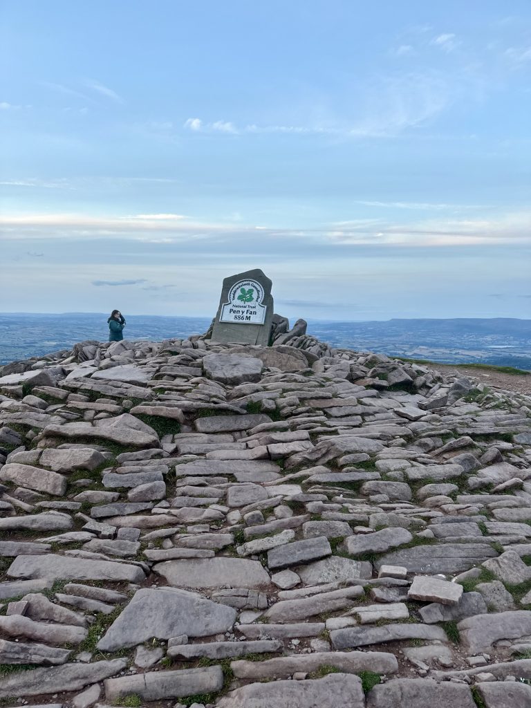
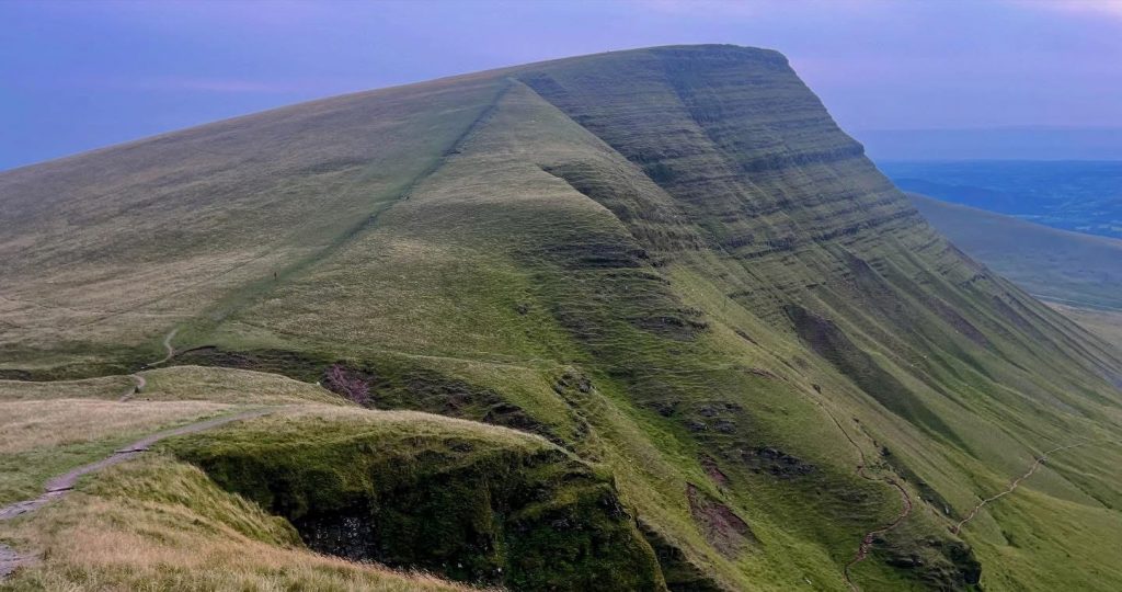
I pushed along the ridge to Cribyn, then made the steep ascent to Pen y Fan (886m), the highest peak in southern Britain. The path was well-trodden but steep and exposed. I touched the trig, grabbed a quick picture and took in the views as the sun was now setting. I then started the descent into the CP in the Car Park which was very runnable, apart from the little up and down before the main descent which was stone steps and a gravel path.
I arrived at CP6 and met my crew. Pot noodle was on the menu which went down nicely, followed by another coffee and some snacks and a milkshake. It was time to get ready for the night shift so I changed my clothes, brushed my teeth, but on my calf sleeves and an extra upper layer. It was dark now, so the head lamp was on, and I headed off into the pitch black.
Storey Arms to Sarn Helen car park, CP7
Distance: 6.9 miles (59.7 miles total) / Elevation Gain: 600m (4700m total)
Terrain: Grassy trails, exposed, remote and wild with limited shelter.
I headed off through the car park and crossed the A470. It was still quite busy with people hiking to catch the sunset and even people still on their way up to summit Pen y Fan. I made the short ascent in the dark on my own but could see headlamps a good distance ahead of me. I’d heard this section was tough to navigate, especially in the dark so I upped my speed across the open moorland with the intention of catching up with the lights ahead of me in the distance. This section is remote and exposed, and I couldn’t see any landmarks. Eventually, I caught up with 3 or 4 people who were having doubts about which trail to take. I’m glad I caught up at this point because the next section was up there with the hardest to navigate from the race.
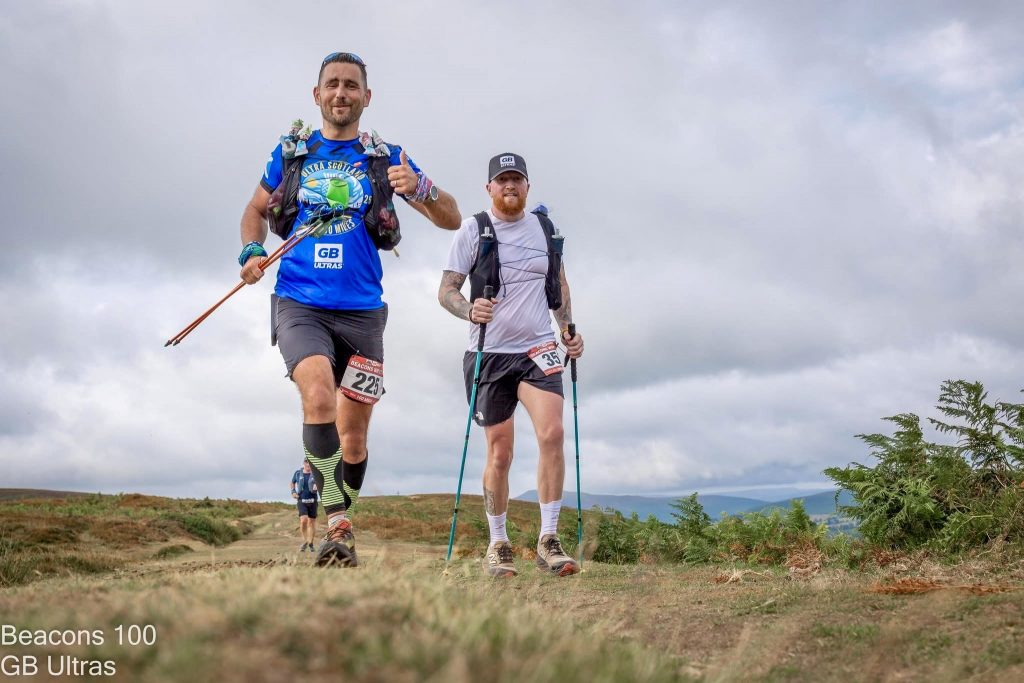
We compared our Garmins and maps and decided which trail was the correct one to take and pushed on as a team, taking it in turns to lead the pack through the open moorland. This section could have been a lot worse if it had been wet and boggy, but fortunately it was dry and quite compact to run on. I’d teamed up with Dani from Germany and Millsy and his brother who was pacing him.
The going was slow with some minor navigational errors until we caught up with 3 more headlamps. Now a bigger group, the trail was less defined, and we had veered off. Comparing our maps again we headed in the right direction through knee hight ferns for a short while, before picking up the trail again and finally a lane which would lead us into CP7.
Millsy, Dani and I decided we would stick together for the next section. Having 3 pairs of eyes on the trail and 3 heads on navigation when sleep deprived was better than one and being alone at this point. We made a plan to spend 15 minutes in this CP to take on some food and reset for the next section.
I managed to get some solid food in me, along with a coffee and a protein shake. My heel was still painful, so I dropped some more pain killers to take the edge off. 15 minutes were up so we all met up as agreed and pushed on to CP8.
Sarn Helen car park to Penwyllt car park, CP8
Distance: 6.3 miles (66 miles total) / Elevation Gain: 600m (5300m total)
Terrain: Mainly grassy trails and rocky paths, with limited landmarks and way points.
As we left CP7 we had hit a big milestone, the 100km point, that filled us with optimism as we pushed on towards the next ascent which was gradual through open moorland and grassy slopes. The route skirts the flanks of Fan Gyhirych, and we took it in turns leading, as we plodded through the moorland, exchanging running stories and race plans for the year.
Navigation was still challenging in the dark, with few landmarks and limited waymarking. I was feeling really tired now as I was jogging along, nearly falling asleep as we moved. I’ve been here so many times and just switched into auto mode, left foot, right foot and repeat. I guess Dani and Millsy were feeling it also, because now it was silent and we hardly spoke as we moved in a single file through the open moorland in the dead of the night, only occasionally checking in with each other to see if we were ok.
As we began the steady descent toward the car park where the CP was located a couple of kms away we started discussing sleep strategies. I decided I needed to try and get 30 mins if I could. Dani and Millsy decided to keep moving. I weighed it up, if I tried to have a quick knap, I would be continuing in the dark on my own. If I didn’t have a quick knap, I could stick with them but risk moving slower and struggling through the next section. I decided to stay and have a quick sleep.
I got out the camping chair, sat down and set my alarm for 45 mins. Pulled the hood over my face and closed my eyes. I could hear people coming and going, cars pulling up and parking, others getting in and out of cars, I didn’t sleep and before I knew it my alarm was going off and it was time to sort myself out and get going again. Even though I didn’t sleep, the stillness and having my eyes shut really reset me and give me another shot of enthusiasm. I refuelled, restocked supplies, changed my socks and put on my shoes. It was now 3:45am and I knew first light would show in around an hour’s time, so I pushed out on my own into the dark yet again.
Penwyllt car park to Almond Lodge, CP9
Distance: 11 miles (77 miles total) / Elevation Gain: 700m (6000m total)
Terrain: Mainly exposed ridgeline with steep drops, rocky trails and some moorland sections.
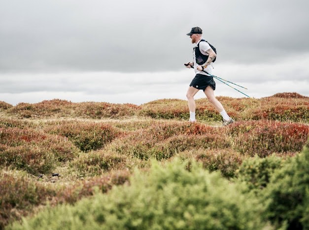
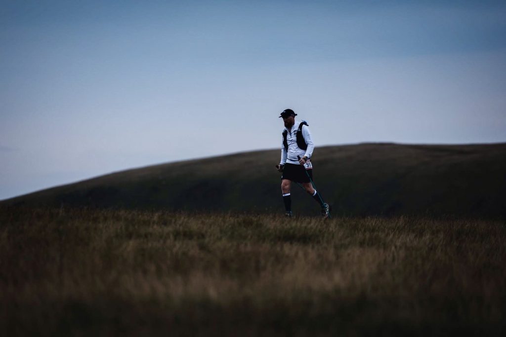
I was moving pretty well again and started passing others who had decided to not rest at the previous check point as I began climbing steadily onto the Fan Hir ridge. I wondered how Dani and Millsy were getting on and if I’d catch them up. The path was grassy and exposed, and I could see the early glow of first light on the horizon.
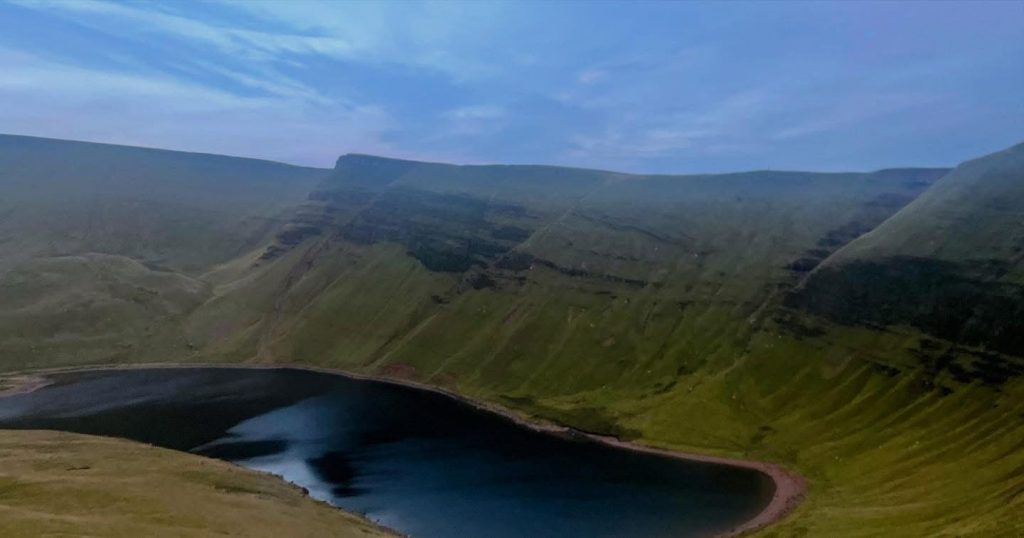
I pushed towards the ridge and the dawn light was now settling in as I hit the ridgeline of the Carmarthen Fans. I could see other runners along the ridgeline as I moved well along it, taking in the stunning early morning views. I hit the summit of Fan Brycheiniog (802m), one of the highest peaks in the western Brecon Beacons and the last big climb of the race. I passed the Llyn y Fan Fawr lake, a scenic glacial lake nestled beneath the cliffs and bumped into the Race Director, Laura who was trying to get some sleep. We had a quick catch up, I didn’t know it was her birthday until after the race. So happy birthday Laura! What a way to spend your birthday morning.
After Fan Foel, I descended gradually following a mix of moorland paths and farm tracks. The descent is long but gentle, with views of the Black Mountain range. I eventually caught up with Millsy and checked in with him to see how he was doing. He was struggling a little but still moving strong. Well done mate! This was his first 100 miler, which he was doing for charity. He said he was completing it no matter what. That’s the mindset you need for races like this.
Not long after, I caught up with Dani. I checked in with her and asked if she was ok and if she needed anything. She was ok and still moving, with the descents causing her some difficulties. Dani had come over for this race from Germany and this was her third time doing this race and the furthest she had come after 2 previous DNF’s. Superb stuff!
I was still moving well as I approached CP9, but my heel was still causing me discomfort, and I was hungry for some proper food. Arriving at the checkpoint I was met by the super volunteers who made me a coffee and some corned beef hash stew. Just what I needed. I didn’t spend much time hanging around and chose to move on towards CP10.
Almond Lodge to Mountain View car park, CP10
Distance: 7 miles (84 miles total) / Elevation Gain: 300m (6300m total)
Terrain: Generally uneven trails, grassy and boggy in places with some rocky sections and is difficult to follow. Minimal runnable sections.
I left the check point along some quiet lanes and grassy tracks before the route climbs gently through farmland and open countryside. Eventually the trail became rocky and difficult to follow, I caught up with Sam from Leeds and we navigated it together chatting as we moved. It was full daylight now, so made for easier navigating.
The rocky trail made it difficult to run on with already over 24 hours on my feet, every step hurt, and momentum was slow going. Eventually we seen the last of the rocks and the trail changed to open moorland again with multiple trails going in all direction making it difficult to know for sure which was the correct one to follow.
I found that heading in the general direction you can’t go far wrong because most of the trails headed in the same direction with the same end point. The ground became boggy for the first time, and this is the first time my feet got wet, about 4km from CP10. The ground was uneven with limited sections that were runnable. Soon enough I could see the CP as I made the short ascent towards it and into the car park.
I met my crew for what was the last time. I had a brief sit down to dry and air my battered feet. Got some calories down me and reset for the last 18 miles of the race. It was late morning now and the day was starting to get warm again, so I took an extra bottle with me, knowing I’d be out there on my own for up to 4-5 hours.
Mountain View car park to Llangadog, Finish
Distance: 18 miles (102 miles total) / Elevation Gain: 200m (6500m total)
Terrain: Some easy trail, tarmac lanes and wooded trail paths.
The route out of CP10 starts on the road before picking up a trail on open moorland again for a few km’s. Soon the trail turned to tarmac for a very runnable downhill where I made up some time with some ok splits. There were some bridleways as I headed towards the village of Trapp and some wooded areas before joining some quiet lanes again. There are some smaller steep climbs on this section but nothing that hard considering what I had already conquered.
I continued through farmland and wooded paths. The terrain undulates gently, with more occasional steep sections before I had what I thought was my first hallucination experience. I came to the head of a trail at its highest point, it was around lunch time on Sunday. I looked down the trail to see the head of an elderly gentleman hiking through the shoulder height ferns towards me. As I descended and turned a corner we met, he was completely naked with nothing but his hiking boots on and a pair of jeans slung over his shoulder with his tackle swinging side to side. “Morning mate”, he said as he passed me. “Alright mate”, I replied. Strange, I thought to myself, I must be hallucinating. I had a little chuckle to myself before looking round for confirmation. I couldn’t see him for the shoulder height ferns.
About a mile further down the trail I reached the end of it and a small car park were a family of 4 were just about to embark on a leisurely Sunday afternoon stroll, the same route I had come. I warned the dad about what I had witnessed further up the trail but did say I could have been hallucinating because I’d been on my feet for over 30 hours now. He just laughed it off and they went on their way.
A bit bemused by what I’d seen, I was questioning reality, what was real and what wasn’t as I passed through a small village called Bethlehem. Now I was certain I was hallucinating! I took a few minutes to confirm the trail I needed to check when another runner approached me, Marek. We confirmed the correct route together and continued. Wanting to make sure I wasn’t going mad, I told Marek what I had witnessed to which he said he had also passed him, and we laughed about it. So, it was real, and I wasn’t hallucinating. But still very strange! I also had to check if this little village was actually called Bethlehem when I finished, and it is!
Malek and I continued together for the remaining few miles, chatting about the race and pulling each other along. As we approached the last 1km he asked me if I wanted a race. No thanks I said, you crack on and I’ll see you at the finish.
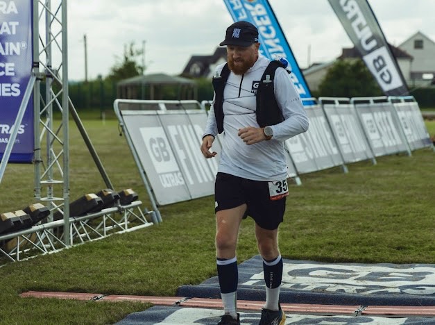
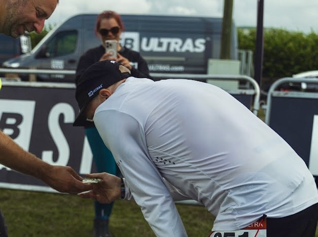
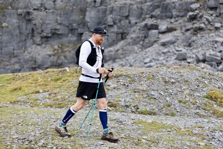
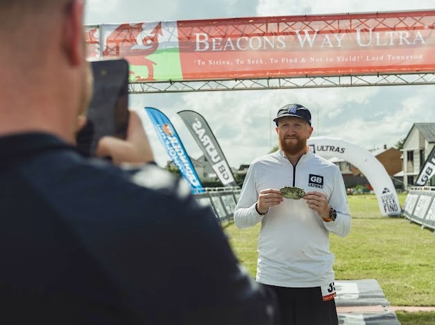
I ran the last few quiet lanes into the village and spotted the finish line. I ran on to the field and crossed it, thankful this one was done. My quads were in bits from the descending and my heel was tender, but I’d completed this tough race and that was the goal. I collected my gold buckle and got the obligatory portrait finishers photo from Dan. Done! As always, GB Ultras put on another well organised and quality event. A big thank you to the team and volunteers who made it a safe and memorable event for every single runner. And a big thank you to the media team, the medic team and to the race directors, Laura, Ian and Wayne.
THE STATS
Total Distance: 168.64km / 104.8 miles
Total Elevation Gained: 6,464m / 21,207ft
Total Time: 34hrs 17mins 44secs
Total Calories Burned: 16,014cals
Average Pace: 10:30/km
Finishing Place: 52nd
Leave a Reply